.png)
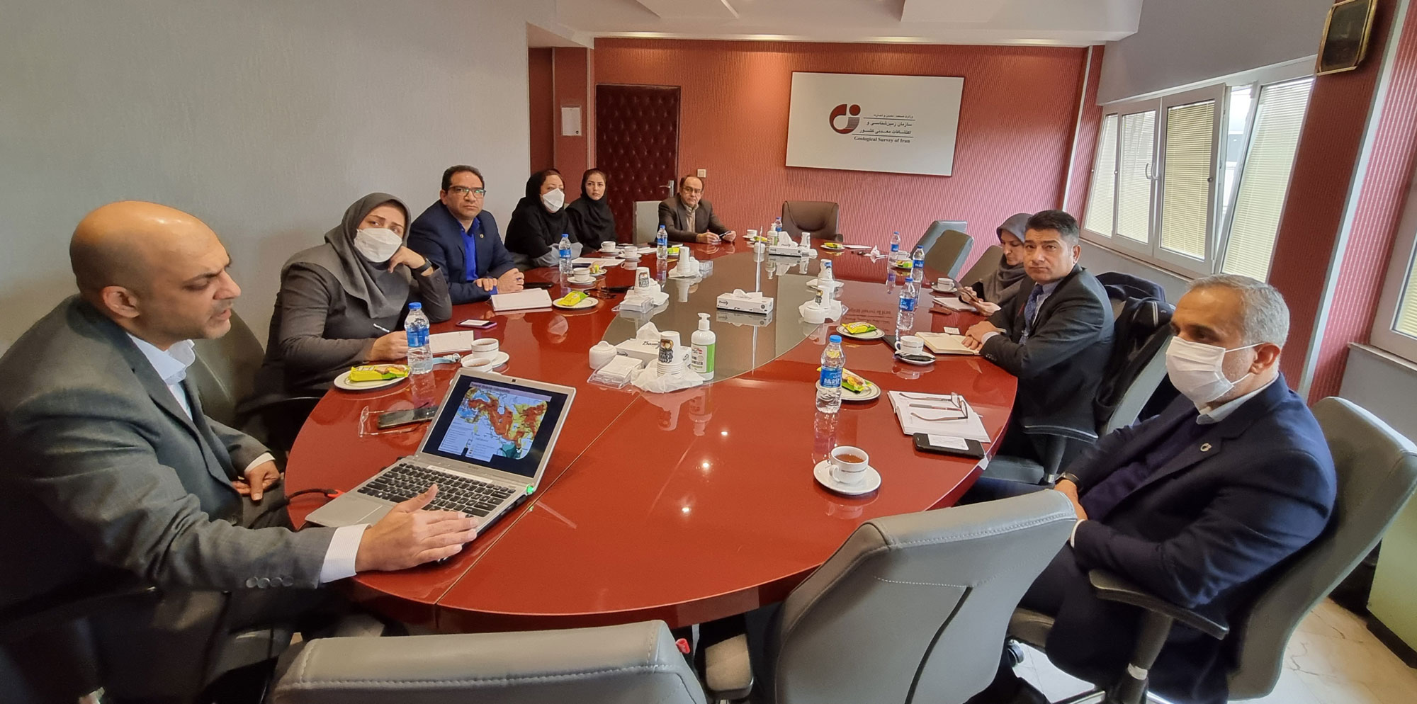
Meeting of the Chairman of the Human Resources and Sustainable Development Committee of ECO Member States with the Deputies and Managers of the Geological Survey of Iran
Mr. Dr.Husnu Tekin, chairman of the Committee on Human Resources and Sustainable Development of ECO Member States, met with a group of the GSI's deputies and directors.
In this meeting held with the efforts of the International Affairs Department of the Geological Survey of Iran, the two sides examined Iran's capabilities in the field of geoscience hazards as well as the areas of development of geoscience relations in different sectors. Accordingly, first, the Director General of the Office of Hazards, Environmental and Engineering of the Geological Survey of Iran addressed general issues related to engineering geology, water resources problems, poor climatic and geographical conditions of Iran, and then to the seismic situation of ECO member states such as Iran, Turkey, Pakistan and Afghanistan.
Dr. Reza Shahbazi emphasized on the importance and necessity of producing information about the hazards of ECO region and said that currently we are faced with issues such as the effects of severe climate change in ECO region such as floods, droughts, water shortages. He pointed to the creation of new capacities regarding water resources between the countries present in ECO region, development of cooperation to solve geopolitical problems resulting from these hazards in this region, bad climate problem and severe climate change.
He also noted that during the past years, the Geological Survey of Iran has considered the most important issues in Iran, issues such as seismic hazards, discussion of coastal areas and created hazards, damage to agriculture, land use management, landslides, dust problems, earthquakes, volcanoes such as Damavand, tsunami, storm and air pollution and accordingly, it has prepared several hazard maps in Iran such as landslides, floods, subsidence, karst, dust and erosion. Shahbazi stressed: Currently, surface water exploration, the subject of underground springs and geothermal energy are among the future activities of the Geological Survey of Iran.
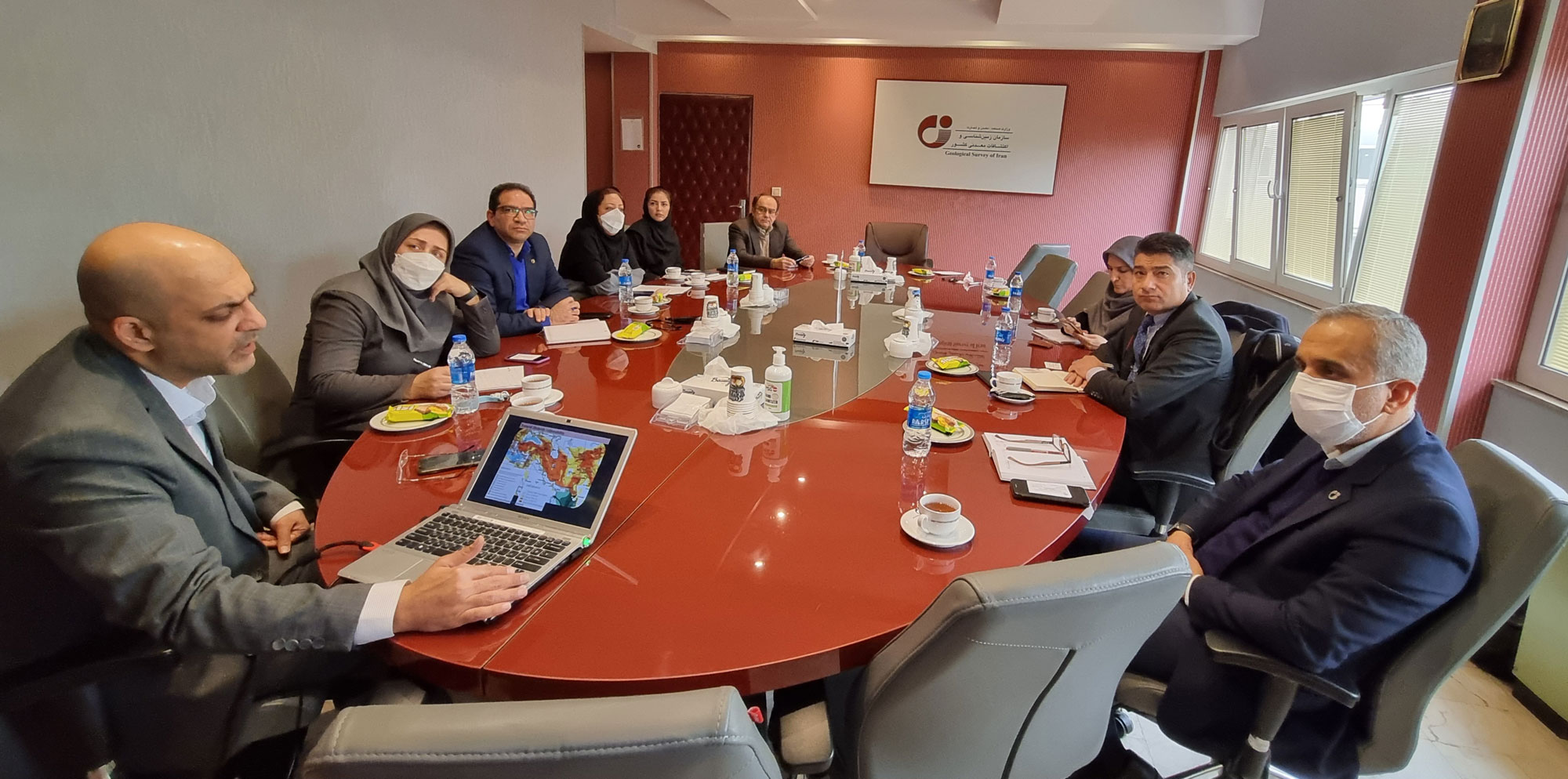
Dr. Parisa Pirouzfar, stating that in recent decades, GIS and Remote Sensing have been used as a suitable and low-cost tool for modeling natural hazards, added: The results of this research which are presented as "hazard zoniation maps" show the difference in environmental vulnerability due to natural geological hazards and human-born processes. Pointing out that these maps are a suitable tool for quantifying the risks and paving the way for detailed studies, she noted: ECO member states are located in a region that is in the high-risk category due to the rule of geological status, climatic and morphological conditions in terms of environmental vulnerability and Geological Survey of Iran at the sixth meeting of mineral experts of ECO member states in 2016 presented the project "Preparing ECO-EQI environmental quality index map", which was approved by consensus of member states two years later.
Mr. Tekin, Chairman of the Committee on Human Resources and Sustainable Development of ECO Member States, continued: "The issue of sustainable development is the first priority of this committee and then reducing disasters, training and carrying out various projects and activities in this area are its next priorities.
Mr. Omid Ardebili, stating that we are willing to prepare a landslide risk map of ECO countries in cooperation with the Human Resources and Sustainable Development Committee of these countries, noted that the current meeting has been organized in order to familiarize with the activities of the GSI in the field of geoscience hazards and to have communication and carry out joint and close projects.
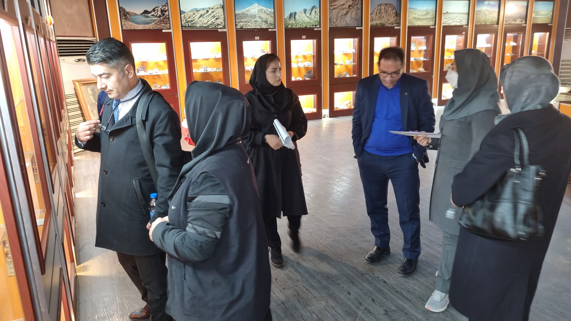
The meeting ended with a visit by Mr. Dr.Husnu Tekin, chairman of the Committee on Human Resources and Sustainable Development of ECO member states, and Ms. Javadi from the Geological Survey of Iran's Geosciences Museum.