

.png)
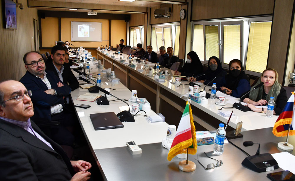
The Joint Session of the Geological Survey of Iran (GSI) and JSC Institute of Russia to Train the GSI Experts in Geological Mapping at the scale of 1:50000
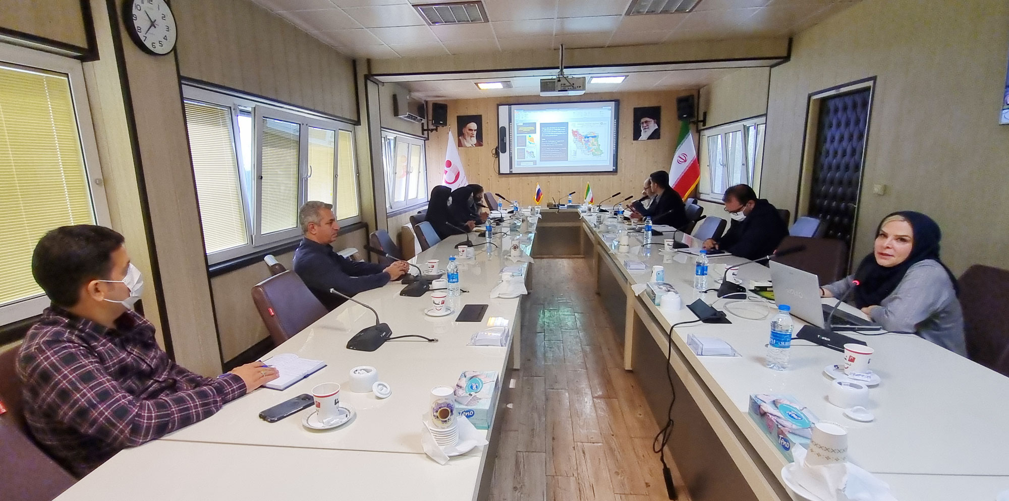
The joint session of the GSI and the JSC institute, Zarubezhgeologia of Russia (Holding of ROSGEO) took place virtually at GSI aiming to train the GSI experts for 1:50000-scale map provision
At the beginning of this meeting, Ms. Bakhshaee the Head of Int`l Affairs Department of GSI said,"The Geological Survey of Iran has been working on producing the geological and mineral exploration information for 63 years and providing the base data of geoscience and also minerals exploration is considered our principal activity. So far GSI has been able to provide both 1:100000-scale and 1:25000-scale geological maps but is going to expand its programs for 1:50000-scale map provision and since our main goal for gathering together here is training our experts in the field of 1:50000-scale maps preparation, we would like to have cooperation with you in the form of MOU and joint training projects and take full advantages of this group experiences in the areas of modern techniques and methods either in Iran or in Russia.
While pointing to the history of GSI and its main activities and also a background of the cooperation of Iran and Russia including providing some geological, geophysical and geochemical maps besides publishing the joint books, Dr. Omrani the geology deputy of GSI and the chairman of the meeting elaborated on Birjand project and working on 1:50000-scale maps with a new approach and added in case that ROSGEO wishes, Geological Survey of Iran will welcome the collaboration with them in this certain field.
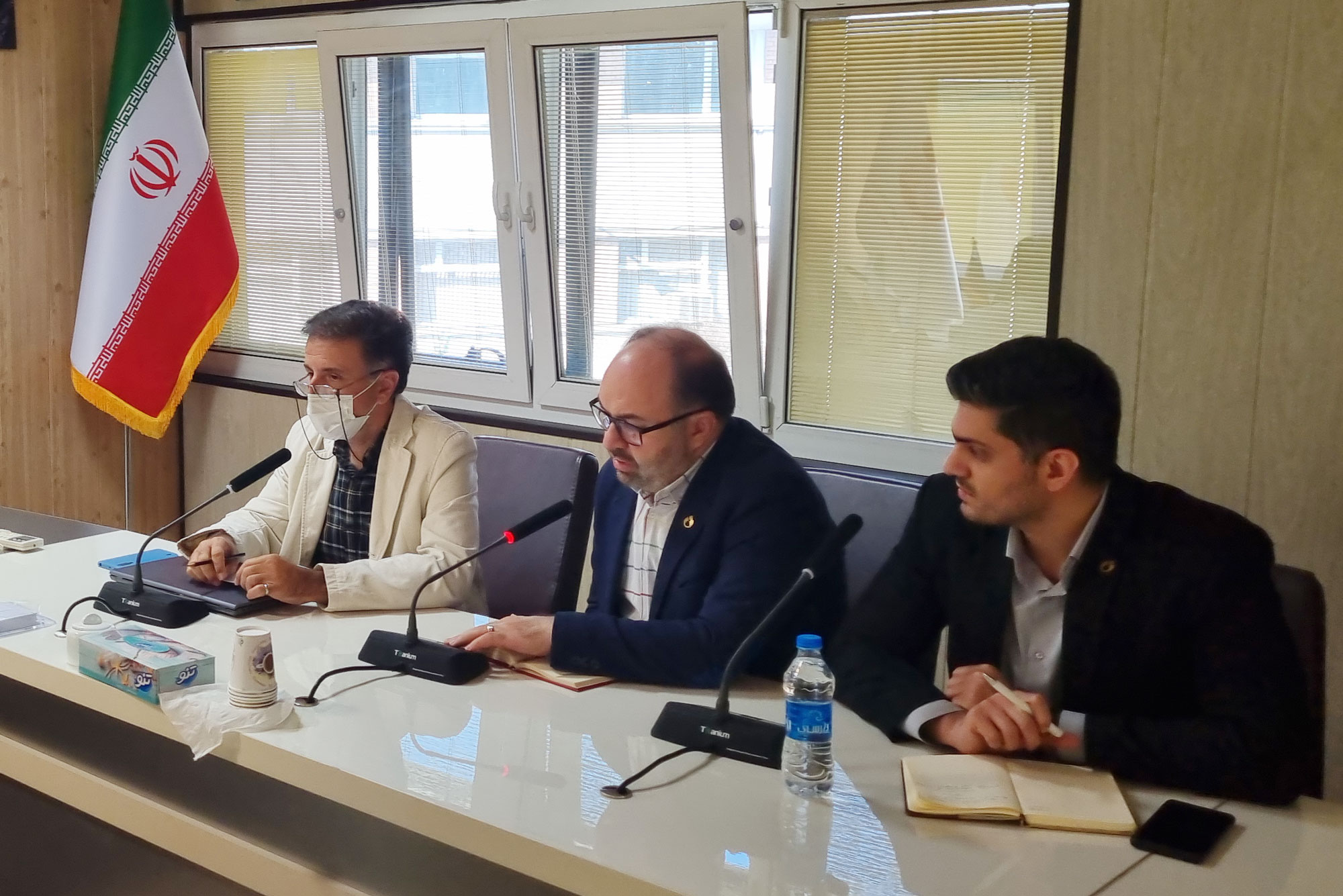
Furthermore, the director of planning of GSI, Mr. Jadidi said,” Our request for cooperation falls in 2 parts: a) Training and empowerment of GSI experts and b)Performing 3mega projects and at present providing sample maps produced in 3frames of geology, geochemistry and economic geology is of great importance to us.
Then Mr. Salamati, the regional geology manager of GSI explained the activities of this department and its different divisions. Additionally, he tried to brief the Birjand project in the north east of Iran and the process of preparing the 1:50000-scale geology maps and publishing the seamless map of this region.
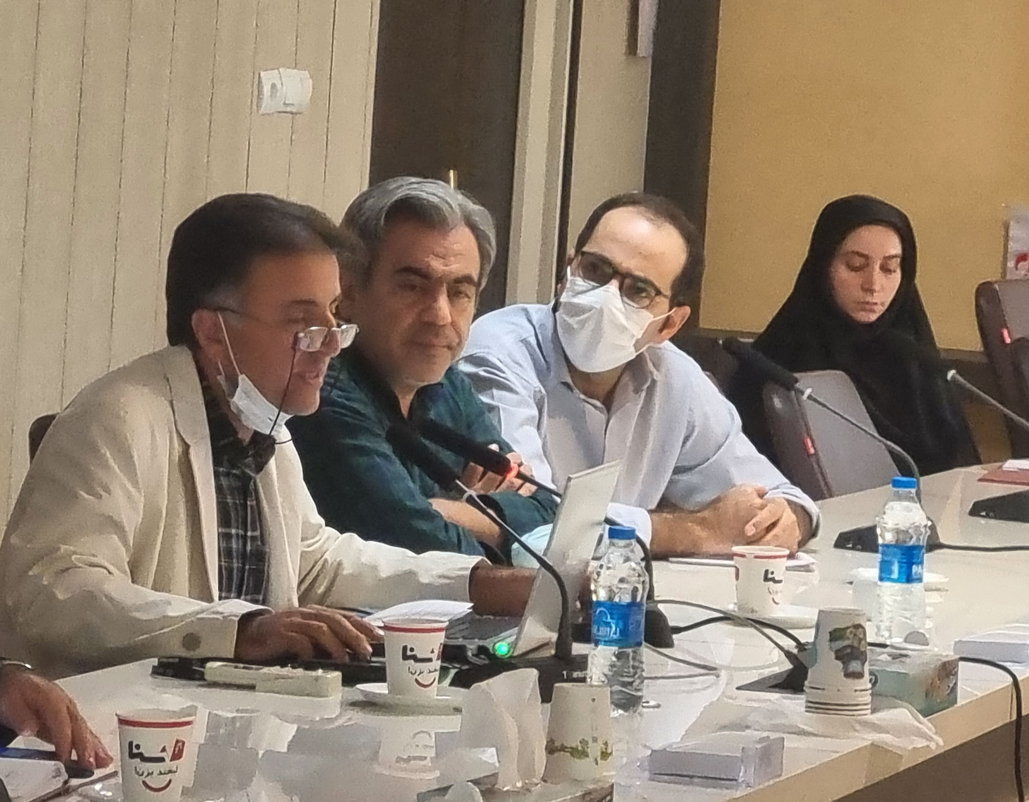
Dr. Farjandi, the deputy of regional exploration manager of GSI gave her presentation on the geochemical exploration methods used in this organization.
Mr. Alexy Desyatkin Sergeevich,the director general of ROSGEO,stated very concisely a history of the activities and services particularly done in the field of mineral exploration and introduced the international projects carried out in various countries (mineral and geological exploration),current projects in Africa, exploration methods used such as satellite imagery and airborne geophysics, geology, geochemistry, drilling, lab analyses, modern lab equipment and manufacturing the developed lab equipment.
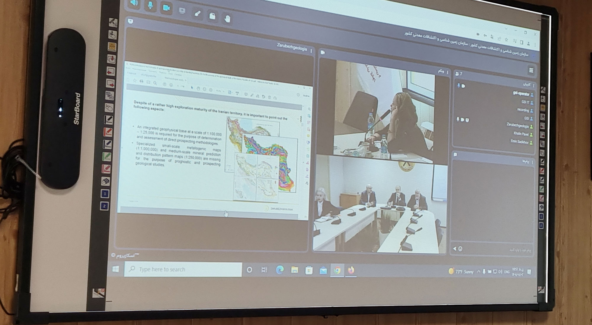
Then Mr. Vashurin Alexander Ivanovich, the deputy and chief geologist of ROSGEO added that as the preparation of such maps is very significant, we are required to pay much more attention to this subject and use a new method in every stage like Arc GIS Pro application.
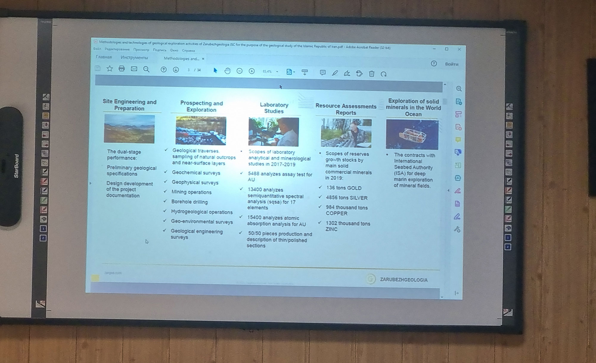
He emphasized that they are of a high level of capability in analyzing the samples using the ICP Mass method e. g,600000 samples per year. In addition, he referred to some mobile labs that are fully equipped and can be used in field operations specially for geochemical analysis of the samples through ICP Mass and ICP OES methods in exploration.


